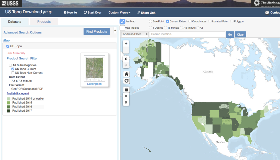
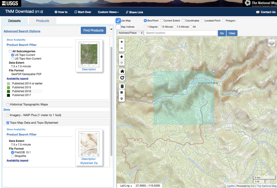
We take care to use shaded relief and 40 foot contours from the USGS. Shaded relief and contour shapefiles are available at the National Map.
- US Topo & The National Map — http://nationalmap.gov
A project that shows how to process GeoPDFs from the USGS and USFS. — RobLabs.com/gdal-geopdf
USGS also does frequent updates. As well they sell paper maps online.


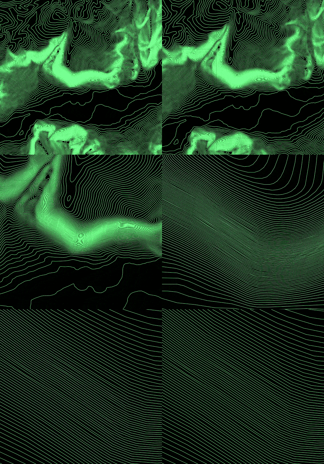
Raw Contour Data

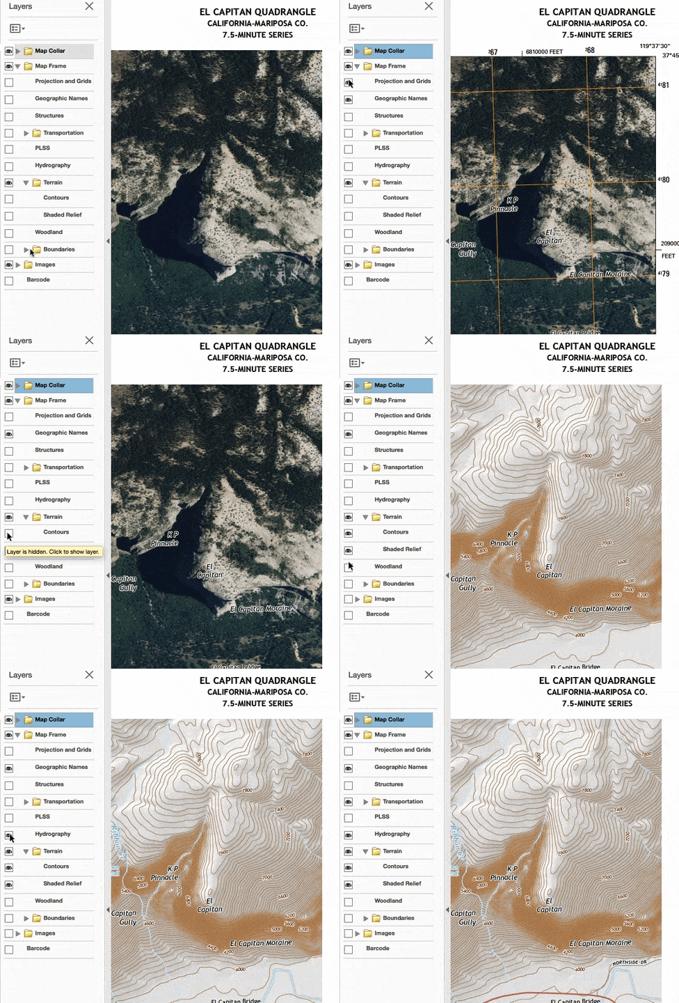
Shaded Relief and other Layers
- Orthoimage
- Hydrography
- Contours
- Shaded Relief
- Geographic Names
- UTM
