QGIS
QGIS is a desktop tool that is used to inspect and visualize Shapefiles, among other formats.
The desktop application for can be downloaded from QGIS.org.
- QGIS
- QGIS is a user friendly Open Source Geographic Information System (GIS) licensed under the GNU General Public License. … It runs on Linux, Unix, Mac OSX, Windows and Android and supports numerous vector, raster, and database formats and functionalities.
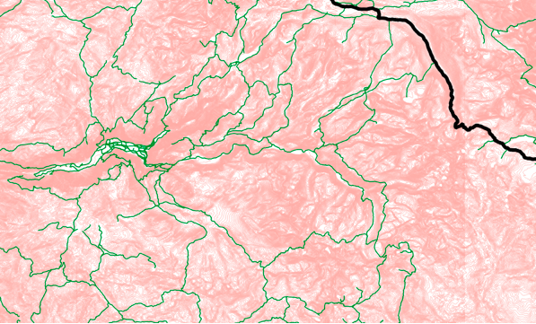
Yosemite Contours and Trails